
Educational material / Undervisningsmaterial
Here I have collected some photos, illustrations and exercises that I use when I teach geology. Some of it is in English, the rest in Swedish or Norwegian
Här har jag samlat några illustrationer och övningar som jag använder i min geologiundervisning. En del av det är på engelska, annat på svenska eller norska.
Illustrations / Illustrationer
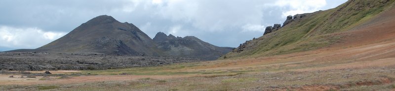
I have created a small gallery with some of my geology related photographs and illustrations. Here you can find lots of photos of glaciers and Quaternary sediments, but also a few photos of common rock types, volcanic landscapes, fluvial erosion etc. (CC-BY, a few with CC0).Material in English
Quick guide to QGIS
A one-page guide on how to find some of the most important featueres in QGIS (CC-BY-SA).
Exercise in groundwater modelling
In this excersise the students create a simple sandbox model using Modflow 6 and ModelMuse, and use it to model the effect on the water table of
increased pumping rates, changed hydraulic conductivity etc. (CC-BY).
Porosity worksheet
Calculate porevolume, porosity, translate between volumes and weights etc. The correct answers are also included (CC-BY).
Basic probabilities
A brief introduction to basic probability calculations. Meant as a refresher for students who have not used probabilities in a while. Suitable for independent studies. (CC-BY).
Svenska / Norska
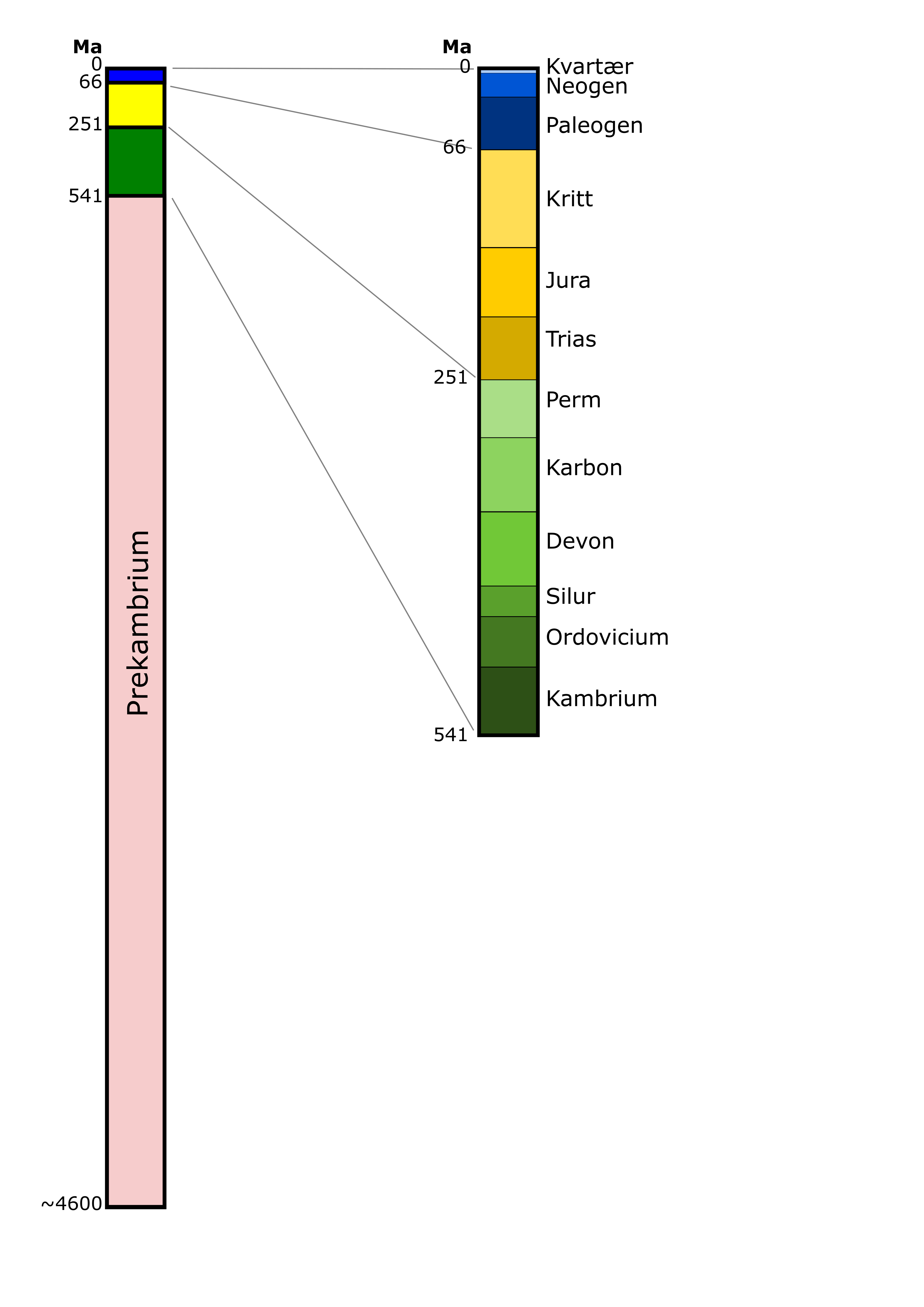
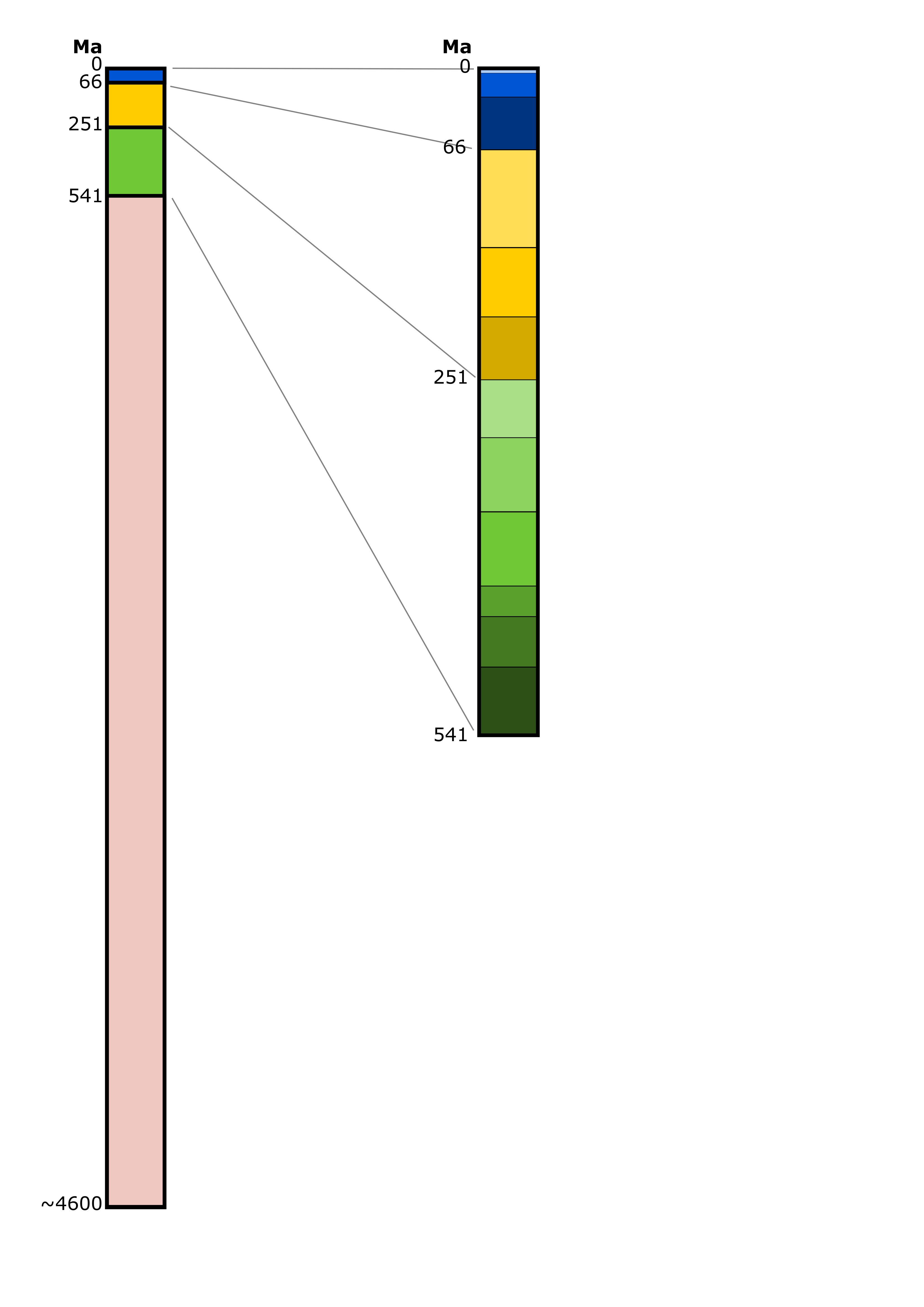
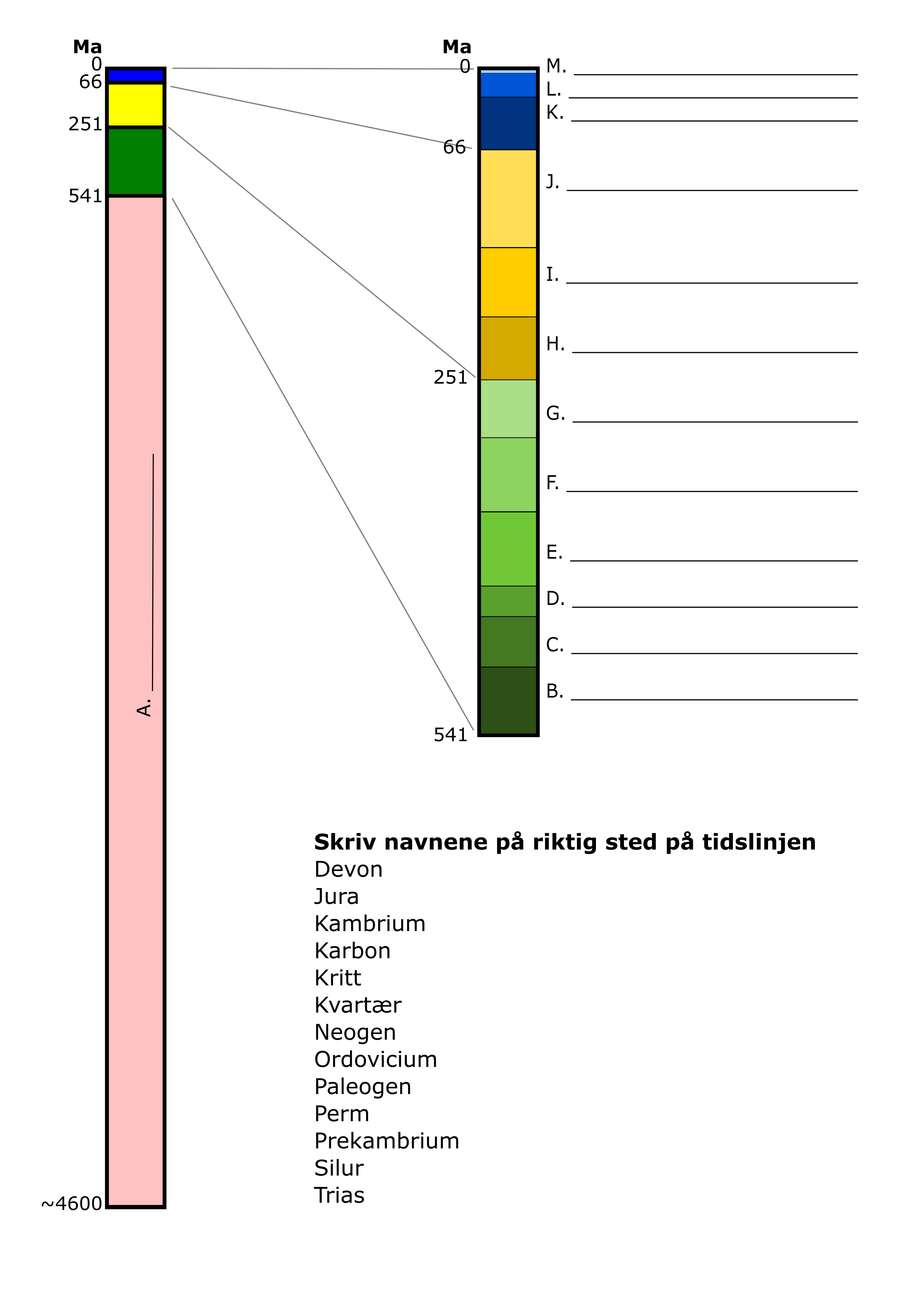
Tidslinje
Enkel geologisk tidsskala (CC0).
Med namn (norska), Blank, Utan namn men med plats att skriva dem (norska).
Krysslista vanliga bergarter
Lista med vanliga bergarter med plats att kryssa av de man har sett i naturen eller som byggnadssten (CC0).
Norska / Svenska
Blank mineralnyckel
Tabell med plats att själv fylla i viktiga mineralegenskaper (glans, kløv, krystallform, strekfarge...) (norska, CC0).
Snabbguide till QGIS
Visar var du finner några av de vanligaste funktionerna i QGIS (svenska, CC-BY-SA).
Python-program för att plotta kornfördelningskurvor
Programkod tillsammans med exempel och instruktioner (svenska, CC-BY).
Summary of the creative commons licenses used (full descriptions in the links)
CC-BY: You may use the material marked with CC-BY however you want, as long as you credit me.
CC0: Use however you want, credit is not necessary.
CC-BY-SA: Attribution + Share Alike, i.e. the same license applies to whatever you use it for. I only use this one when I want to include material which already has a CC-BY-SA license, e.g. screenshots from QGIS.
