
Research > Deglaciation of south Sweden
The deglaciation of southern Sweden
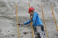
The deglaciation of southern Sweden was dated
using cosmogenic nuclide surface exposure dating.
By using the same methods as had previously been
used on the Swedish west coast the two regions
could be correlated.
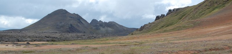
We suggest that central Skåne, the southernmost province
of Sweden, was deglaciated between 17 and 16 ka. At this time
the southwest coast of Skåne could still have been
influenced by ice streaming through the Baltic basin and might thus
still have been ice covered. Farther north, in southern Småland, the deglaciation of the eastward continuation of the Göteborg
Moraine was dated to 15.6±0.8 and 16.6±0.9 ka. In northern Småland a site close to the Vimmerby Moraine
was dated to 14.6±1.0 ka, in good agreement with a previous dating of that
moraine. Our northernmost site, situated only 25 km south of the Younger Dryas moraine, was dated
to c. 13.8±0.8 ka and cosmogenic surface exposure ages from Gotland suggest a deglaciation there before
13.0±0.8 ka.
The combined deglaciation chronology suggests a rather steady
deglaciation in southern Sweden starting at c. 17.9 cal. ka BP in NW Skåne and reaching northern Småland,
~200 km further north, c. 13.8 ka ago. Overall the new deglaciation ages agree reasonably well with existing
deglaciation chronologies, but suggest a somewhat earlier deglaciation in Småland.
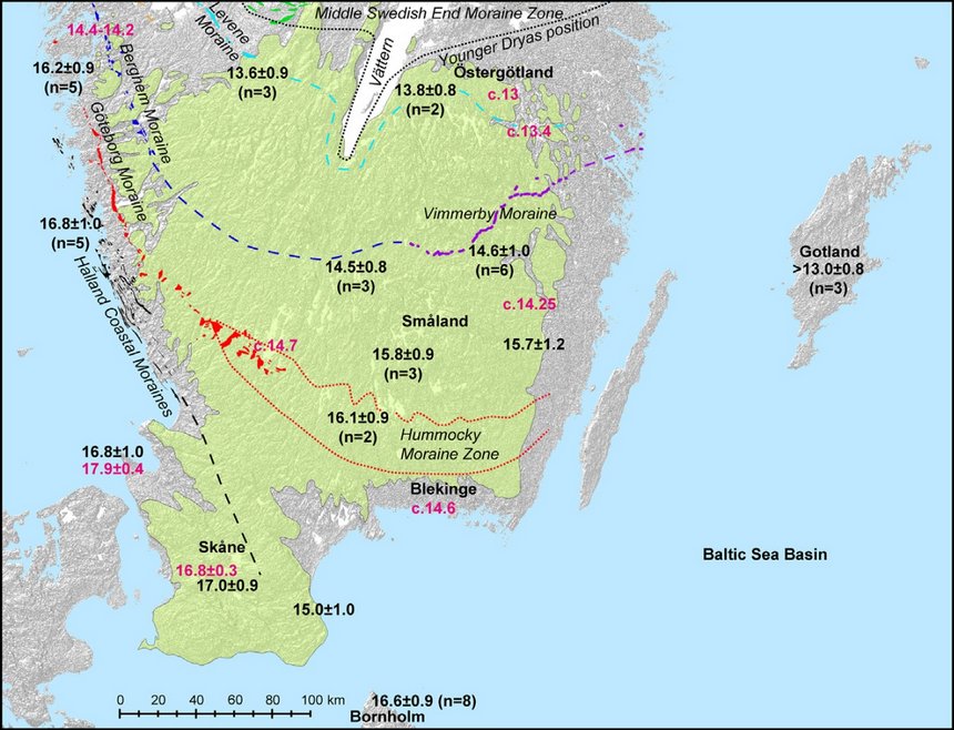
Deglaciation chronology and correlations of ice marginal lines in southern Sweden. The mean cosmogenic exposure ages (black) are
plotted together with the oldest radiocarbon ages from selected sites and estimated deglaciation ages from Lundqvist & Wohlfarth (2001)
(red). At sites where the cosmogenic exposure ages were too scattered to calculate a mean age, the most likely age was selected (see Anjar et al. 2014 for details). Suggested correlations between the east and west coast of Sweden are marked with dashed lines but remain speculative. Areas above the highest shoreline are indicated in green. The
deglaciation ages used are from Ringberg (1989, recalibrated), Sandgren et al. (1999, recalibrated), Lundqvist & Wohlfarth (2001), Johnsen
et al. (2009, recalculated), Larsen et al. (2012, recalculated), Houmark-Nielsen et al. (2012) and this study. Digital elevation
data after Jarvis et al. (2008).
Read more
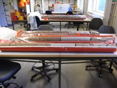 Sediment cores reveal the ice age history of the Baltic Sea
Investigations of sediment cores from Kriegers Flak in the southern Baltic Sea reveal the deveolpment of the region
during the last 55 thousand years. It is a dynamic history with repeated glaciations but also periods with brackish
conditions and periods when parts of the current Baltic Sea were dry land.
Read more.
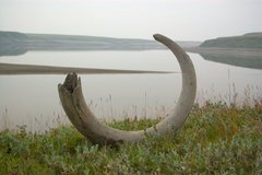 Research expedition to Taymyr
During the summer of 2012 I participated in a seven week long expedition to Taymyr. The aim of the expedition was to
date the glaciations in the region. We therefore travelled in zodiacs along the Luktakh, Upper Taymyr and Logata rivers,
a total distance of almost 350 km.
Read more.
 Ice free conditions in central Sweden in the middle of the last ice age
The Scandinavian ice sheet at its largest extent covered large parts of northern Europe. However, during parts of the last ice age the ice sheet was
significantly reduced. In this study we have studied sediments outside of Idre, west-central Sweden, and found
that the area must have been ice free at som point between 50 and 40 thousand years ago, in the middle of the last ice age.
Read more.
Back to the research overview